
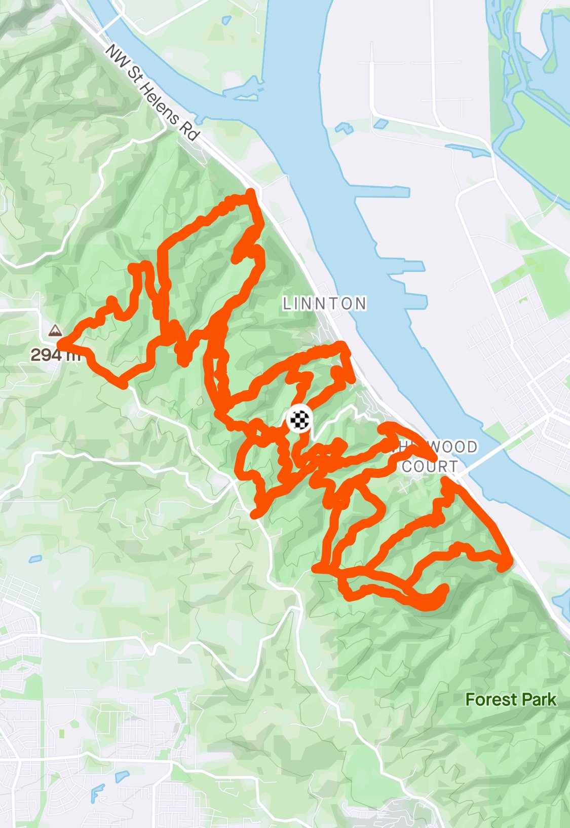
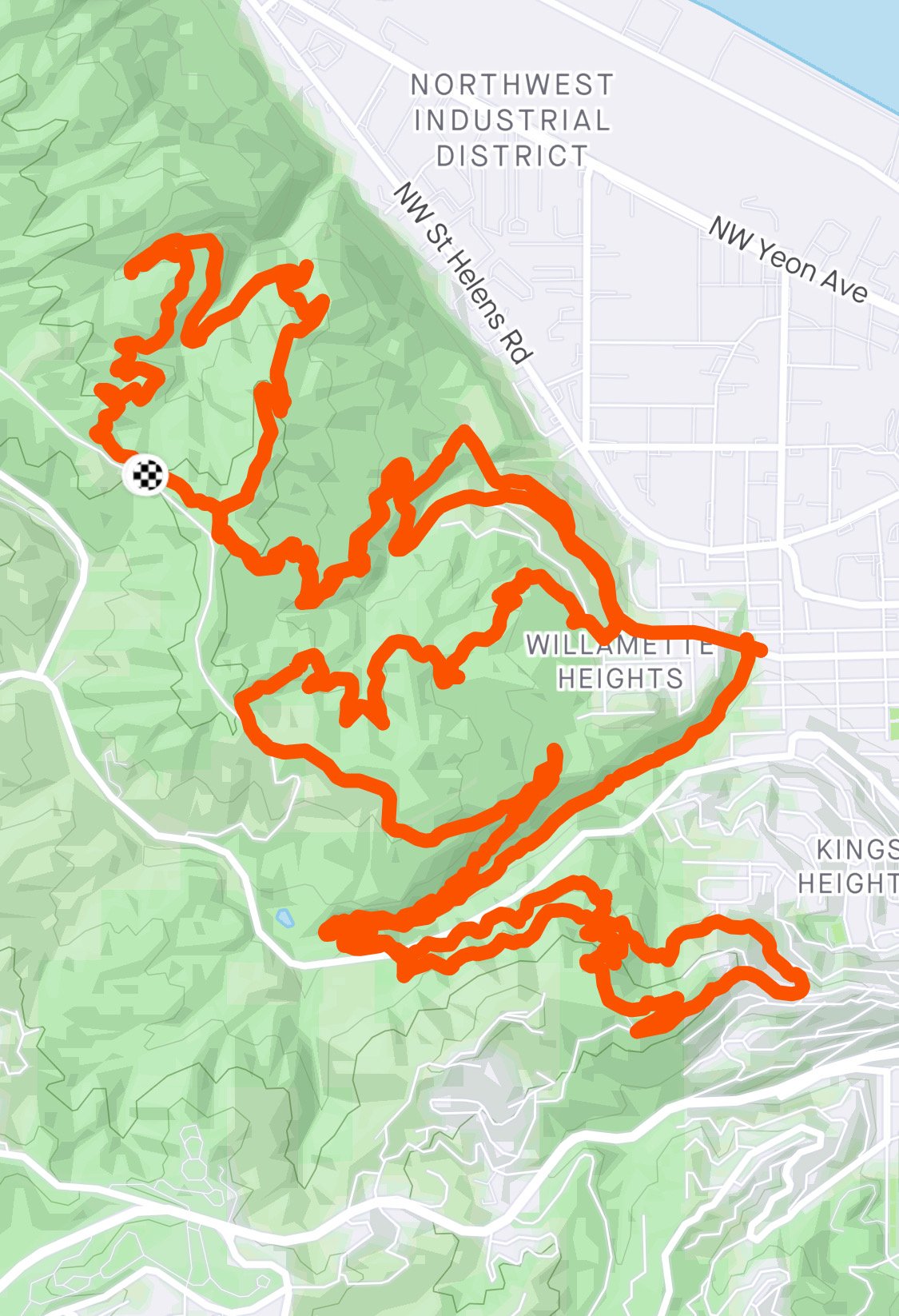
Forest Park Tour de Nasty
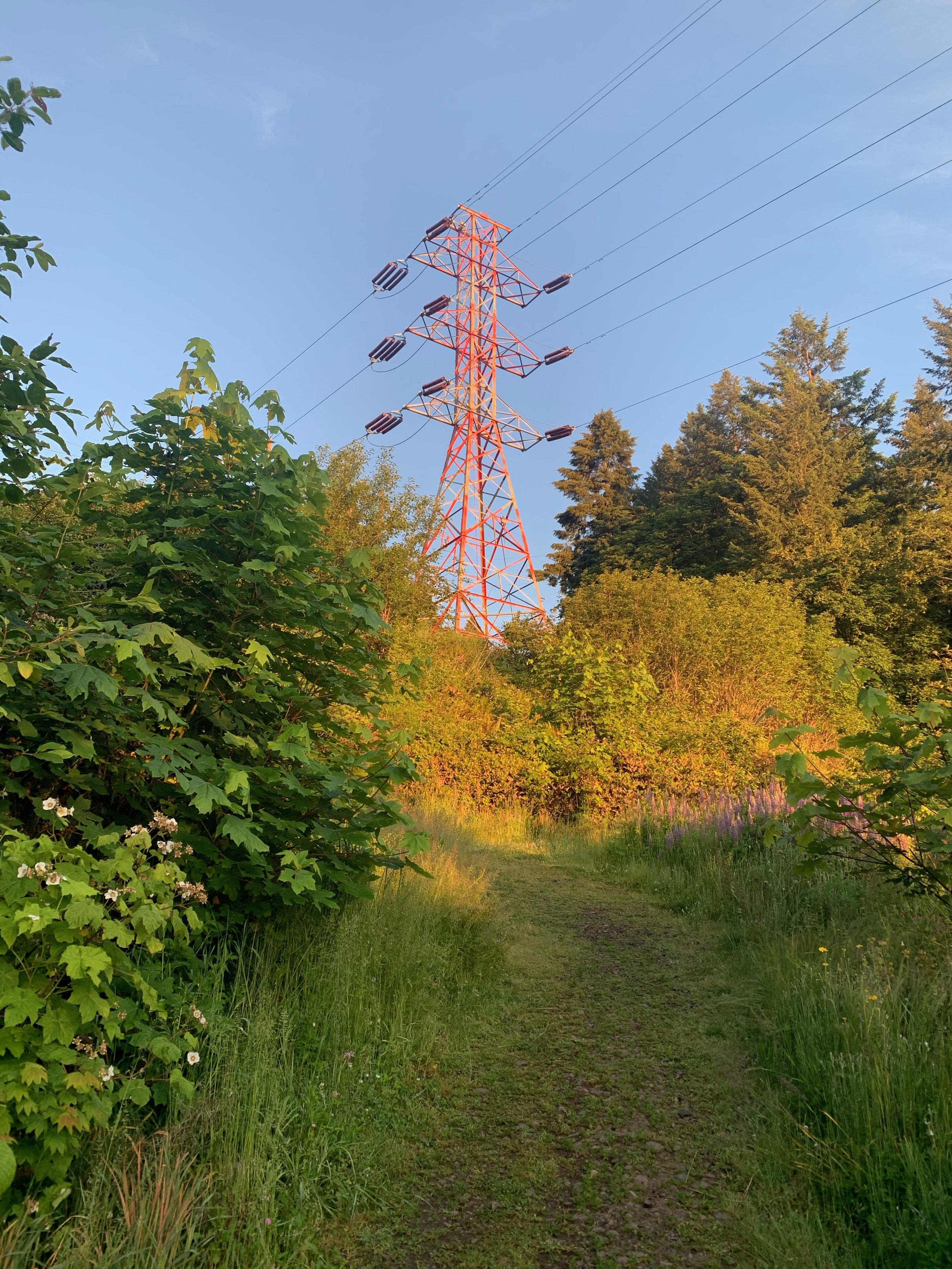
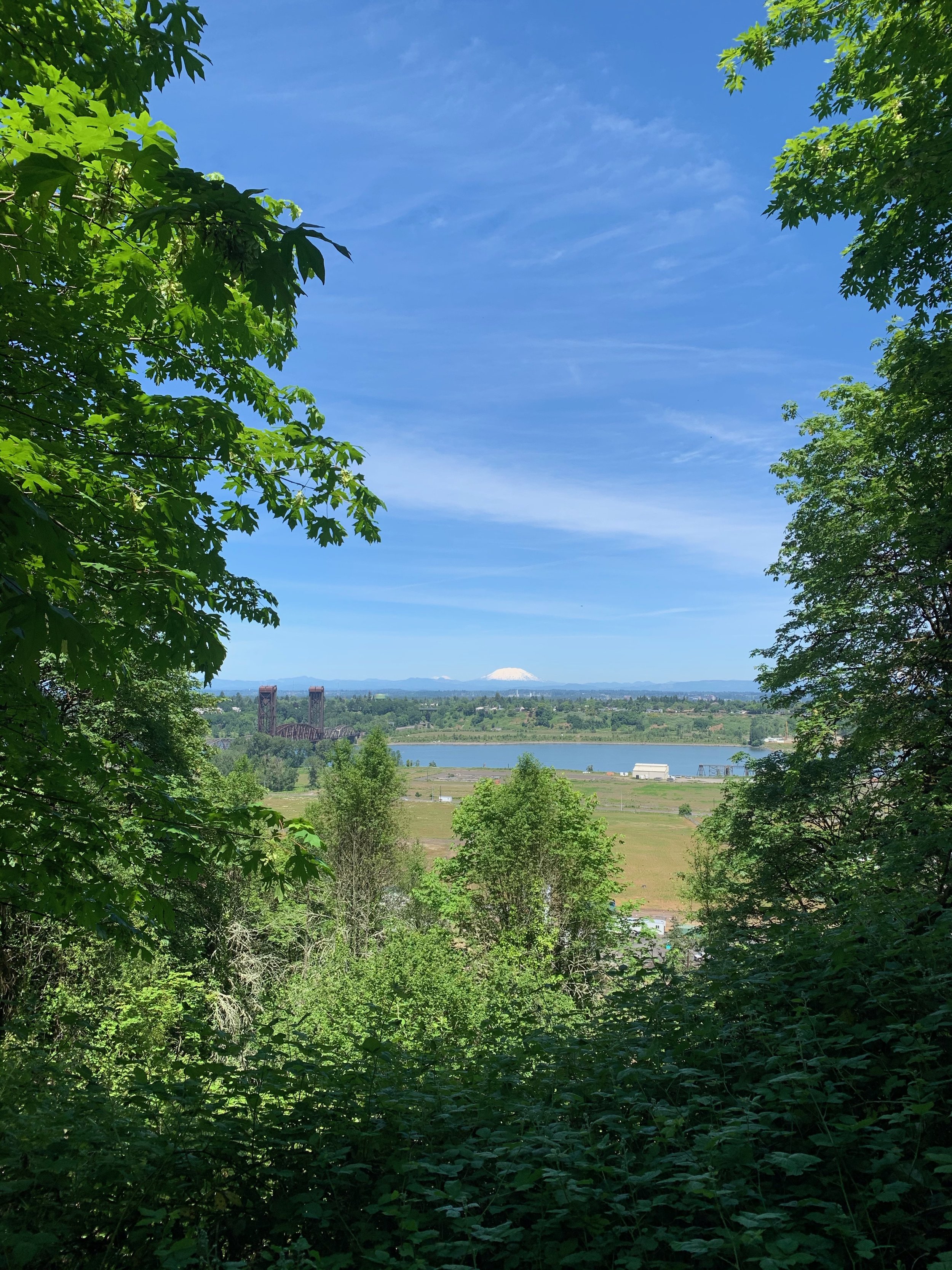
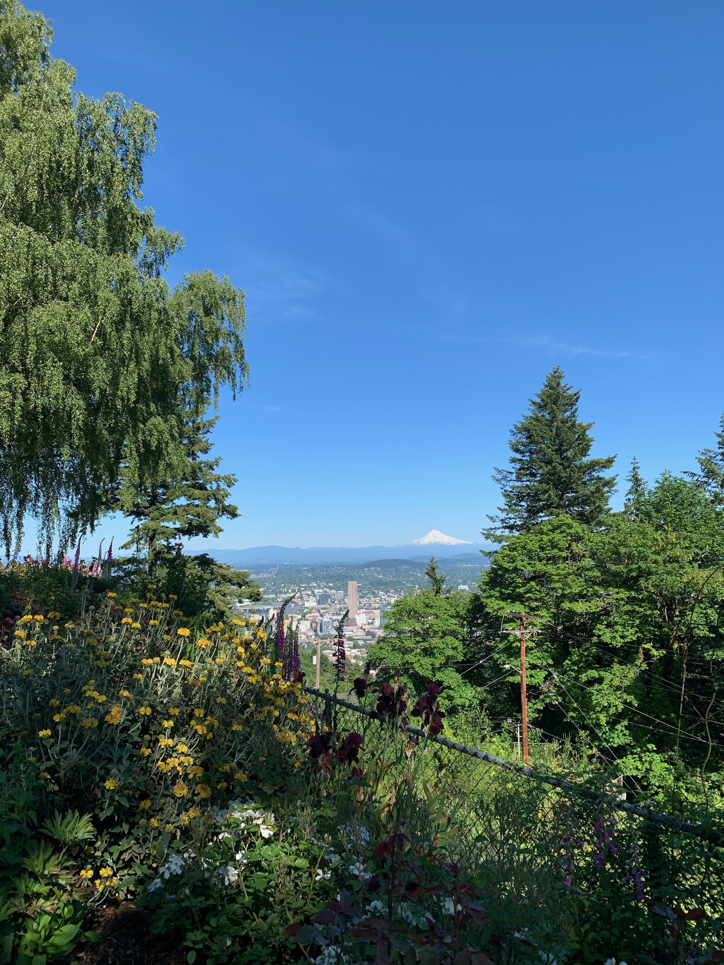
Yesterday I set out to run the Forest Park Nasties in their entirety in a route known as the "Tour de Nasty". The entire run is around 67 miles with 13,500ft elevation gain and an equal amount of elevation loss. What are the Forest Park Nasties? According to Pete Carleson, they're a series of routes "designed by a mysterious Portland trail runner for hilly off-season training while the volcanoes and high trails of the northwest are under snow and ice. It's believed he also has an intention to increase the suffering in the world." There are four original routes including North Nasty, South Nasty, Flaming Nasty, and Alphabet Nasty. In 2017, local trail runners Jordan Carey and Travis Liles came up with a new Nasty starting from Skyline Tavern, aptly named the Skyline Nasty.
THE PREP
My inspiration for running the Nasties was A) Having some kind of goal to focus on during the pandemic shutdown, and B) Finding a practical way to train locally for running and hiking the entire Appalachian Trail, which I'm hoping to do this summer (depending, of course, on the out-of-state travel situation and park closures–but that's a whole other can of worms to talk about another day).
My first order of business was memorizing all the routes. If one is not familiar with all the fire lanes and side trails of Forest Park, this is a tall order. There are lots of tricky turns, small loops, and retracing steps in some instances. Wildwood Trail? Leif Erikson? I've run those popular routes a zillion times. The chances of getting lost are practically zero. All you have to do is stay on one trail! Over the course of 8 days, I studied the maps of all five routes, wrote out turn-by-turn directions on my iPhone notes, then went out and ran them all for the first time. I really wanted to get the routes correct on my first try, so at just about every trail intersection, I would stop and look at my directions to make sure I was on the right track. As a result, I probably added an hour of time to each route just from stopping and consulting my directions so often. Over the course of one or two months, I practiced running each route with zero directions to guide me, and was happy to nail it each time. With my background in classical piano, it reminded me of memorizing a new piece and learning to play it up to tempo.
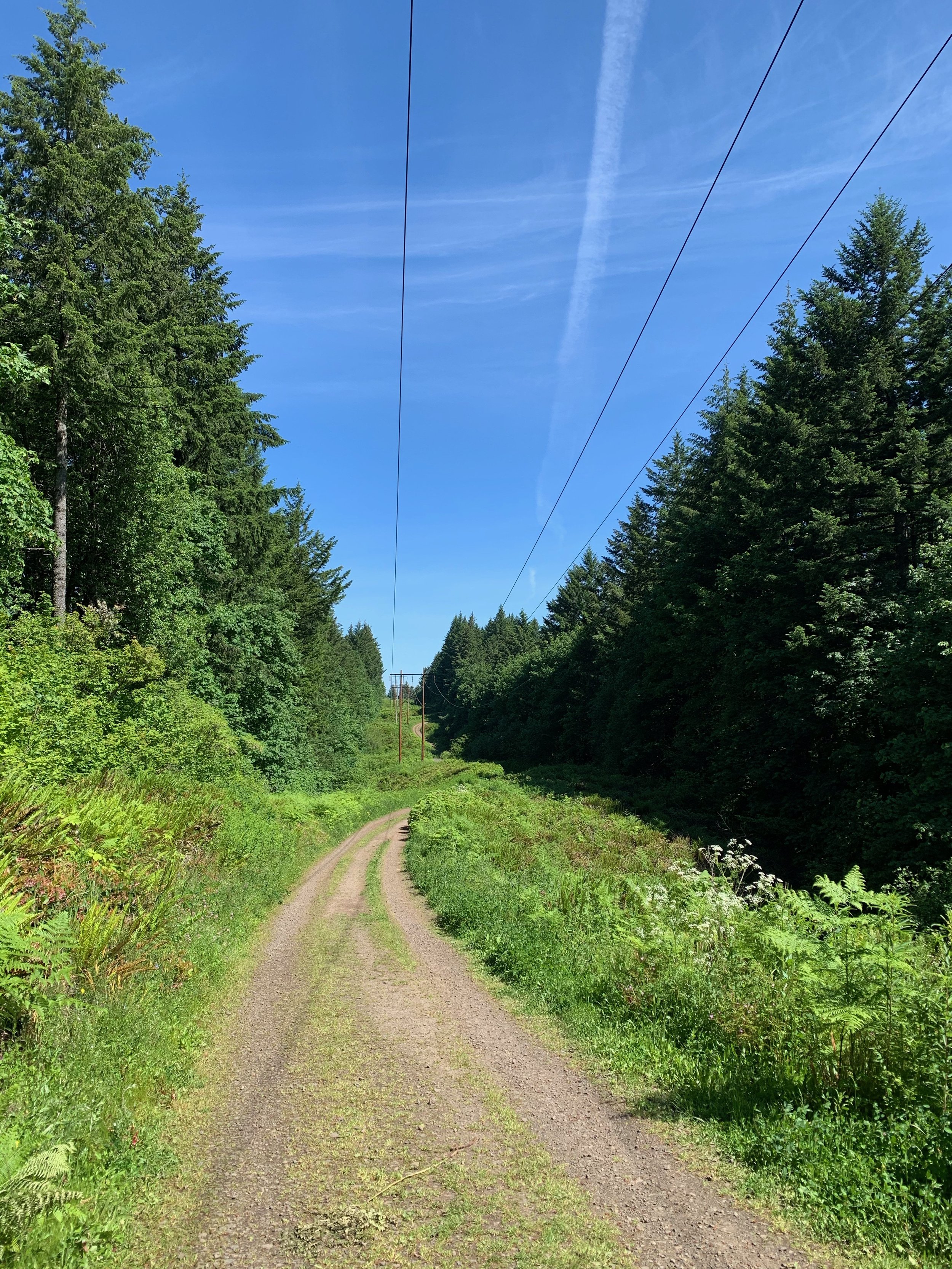
After memorizing all the routes and getting a lot of training under my belt, then came the waiting. I felt mentally/physically ready to go last week, but it rained just about every day, and based on my logs for the various times I'd run each route, it was apparent that mud would slow me down quite a bit. Portland had some nice weather this past weekend, allowing for the trails to dry up some. I went for a little shakeout run on Tuesday to scout out some of the typically muddy trails including Firelane 9 and Waterline Trail. There were sections that were still pretty bad with the occasion giant mud pit, but I felt I had put off my attempt long enough, and knowing the weather would get sunnier and hotter as the week went on, I decided to go for it the next day, Wednesday, May 27th.
THE STRATEGY
I set a goal to run the Tour de Nasty in a fastest known time (sort of like setting a record on the honor system). Three people have run the Tour de Nasty previously: Mack Robertson and Theresa Silveyra as a duo in 2019 with a time of 19:57:11, and Sean Robinson in April this year with a time of 15:52:57. Both parties planned their routes in a strategic way, including which trailheads to start each loop at, which direction to go in for each loop, and which order to do each loop in. Mack and Theresa decided to start North, South, and Skyline from the same trailhead at Germantown to save on time on driving; Sean did the same, as did I. To get to the remaining two loops, Flaming and Alphabet, driving is required. One variation I made (outside of the order of loops, in which everyone including me did differently), was beginning and ending the Alphabet Nasty from the Wildwood trailhead on NW 53rd, rather than the trailhead at Lower Macleay Park. This cut down on driving time significantly, by approximately 10 minutes. I chose to start with the northernmost Nasties, as they have the steepest, most difficult climbs and I wanted to get those out of the way early, while my legs were still fresh. Here is the order and directions I went in:
Start at Germantown Trailhead
North Nasty (counter clockwise, going up BPA)
South Nasty (clockwise-ish, going up Fire Lane 7A)
Skyline Nasty (clockwise, going down BPA)
Drive to Skyline Blvd & NW Kelly Cir (~5 min)
Flaming Nasty (counter clockwise)
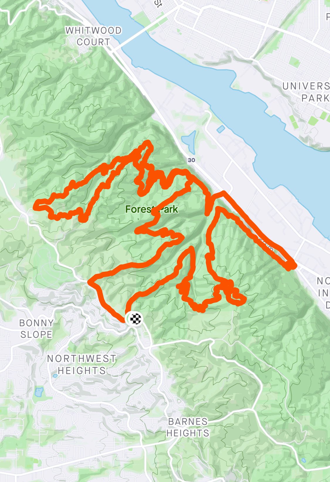
Drive to Wildwood Trailhead on NW 53rd (~5 min)
Alphabet Nasty (counter clockwise)
THE ATTEMPT
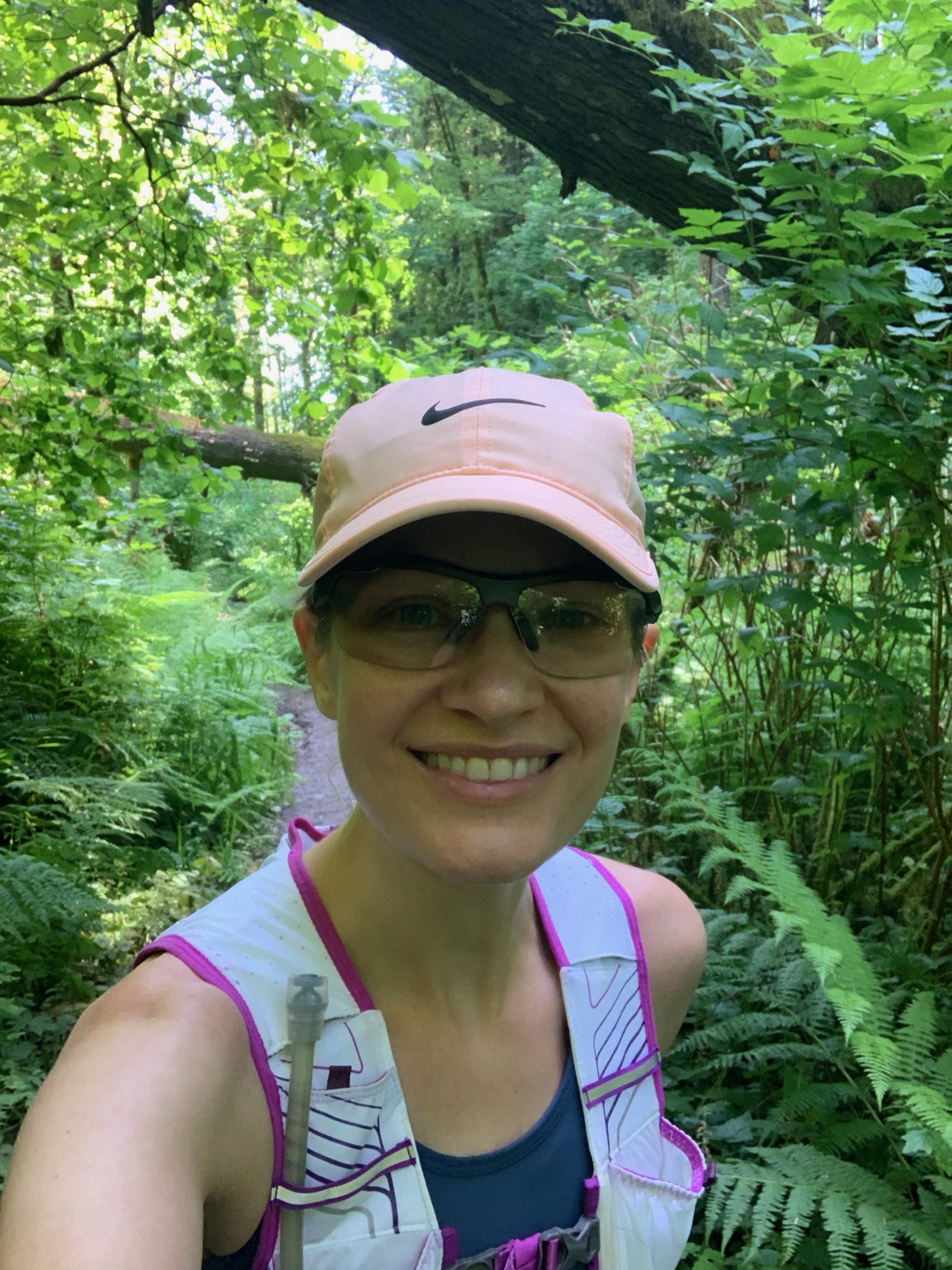
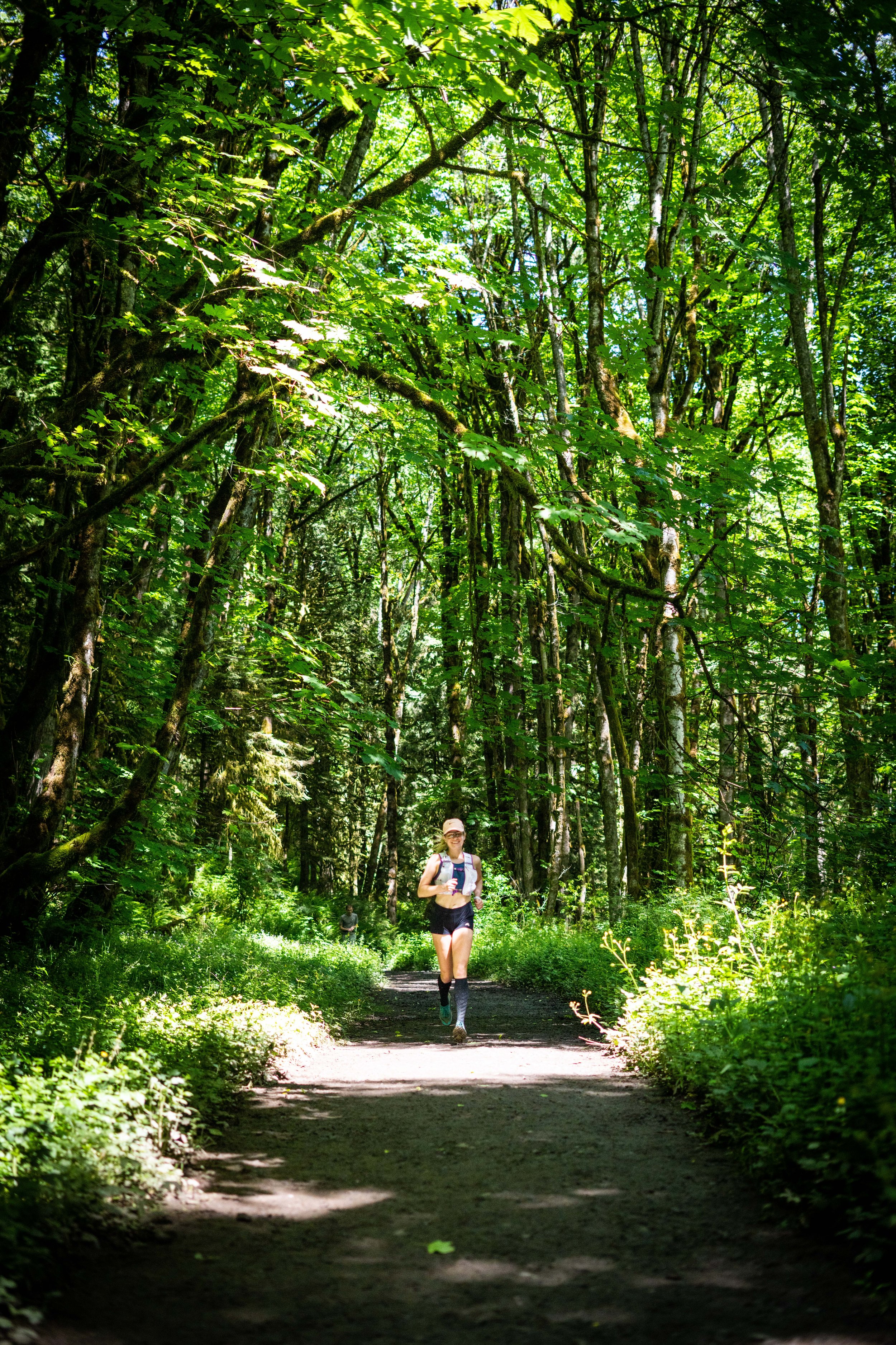
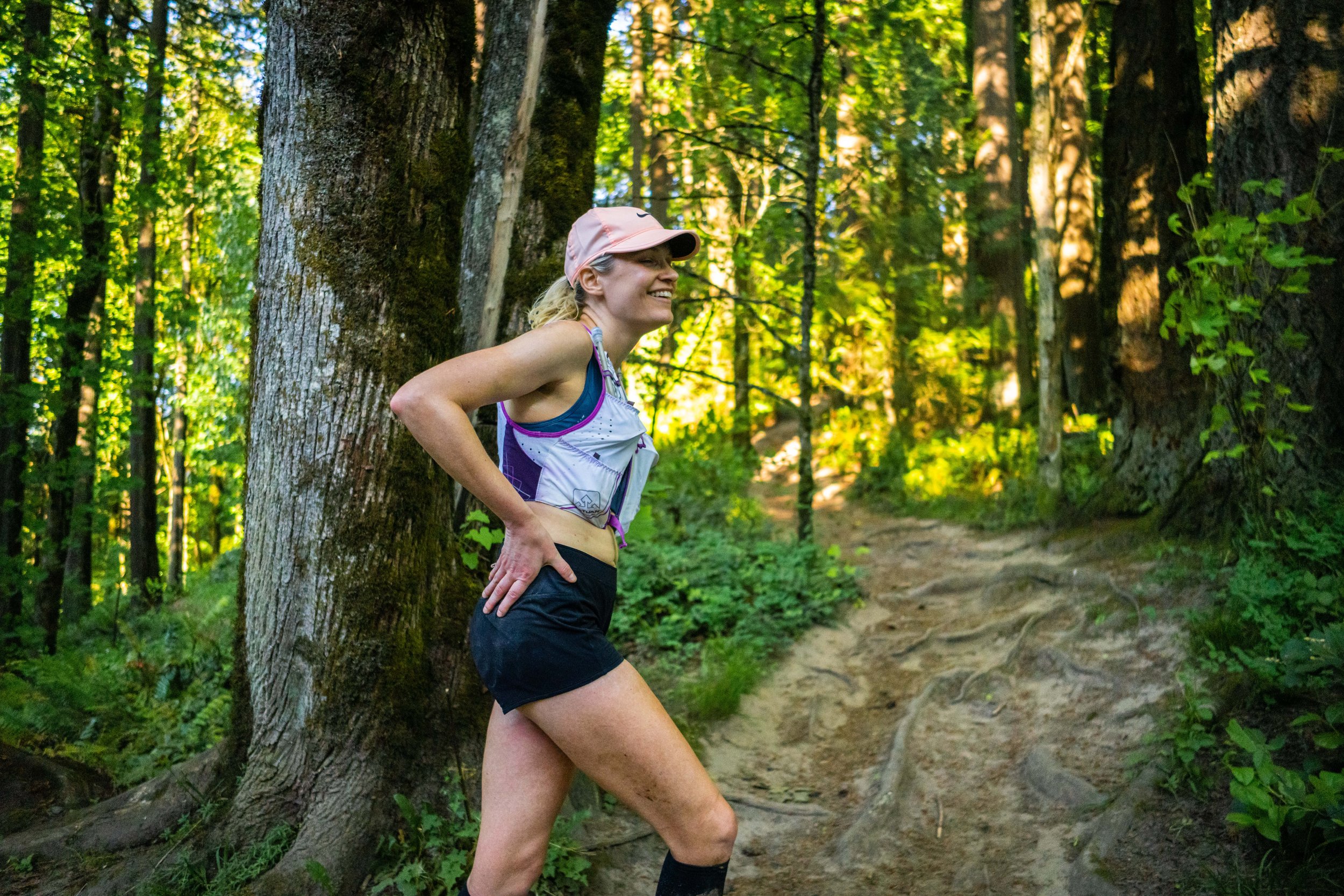
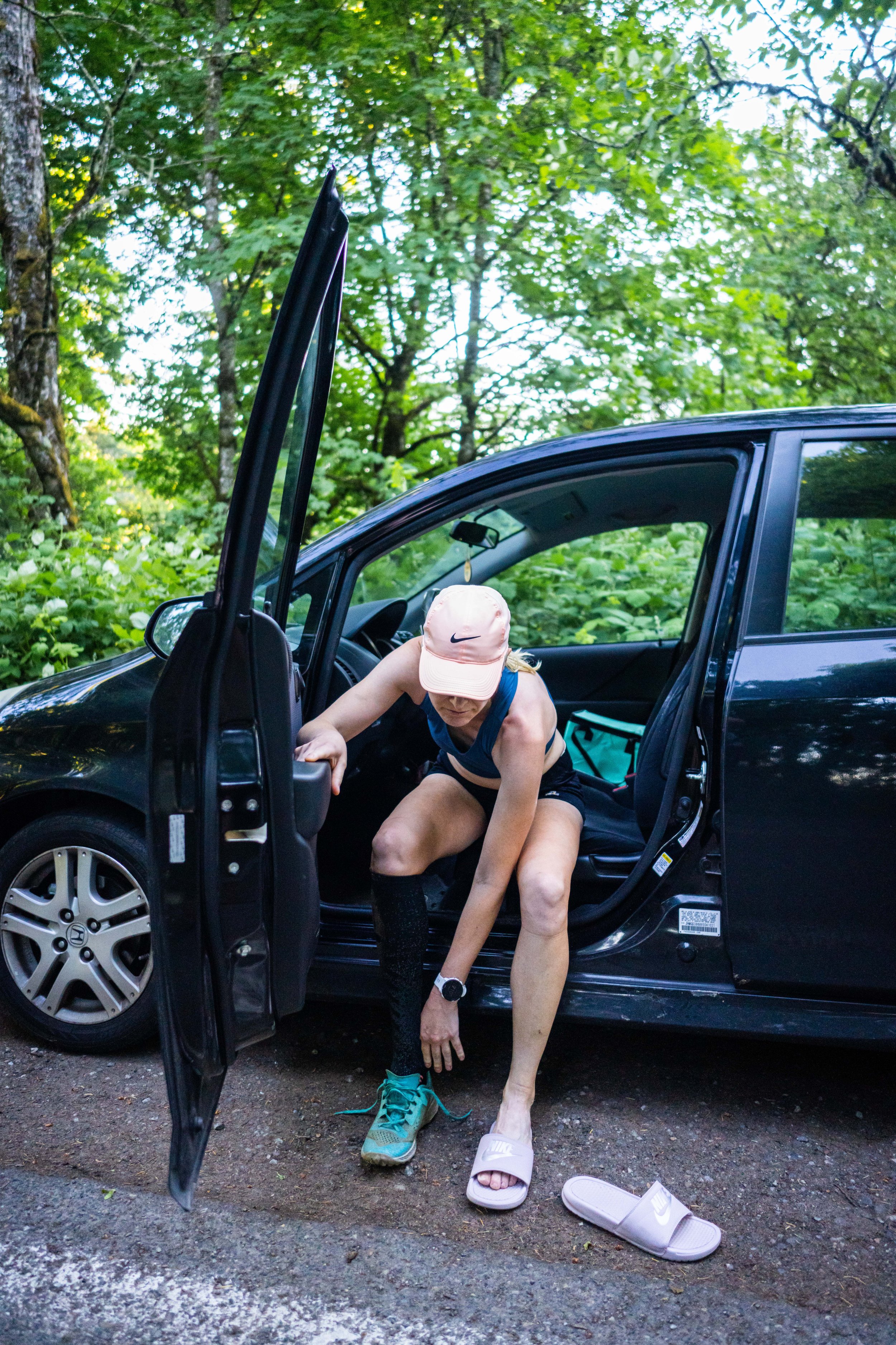
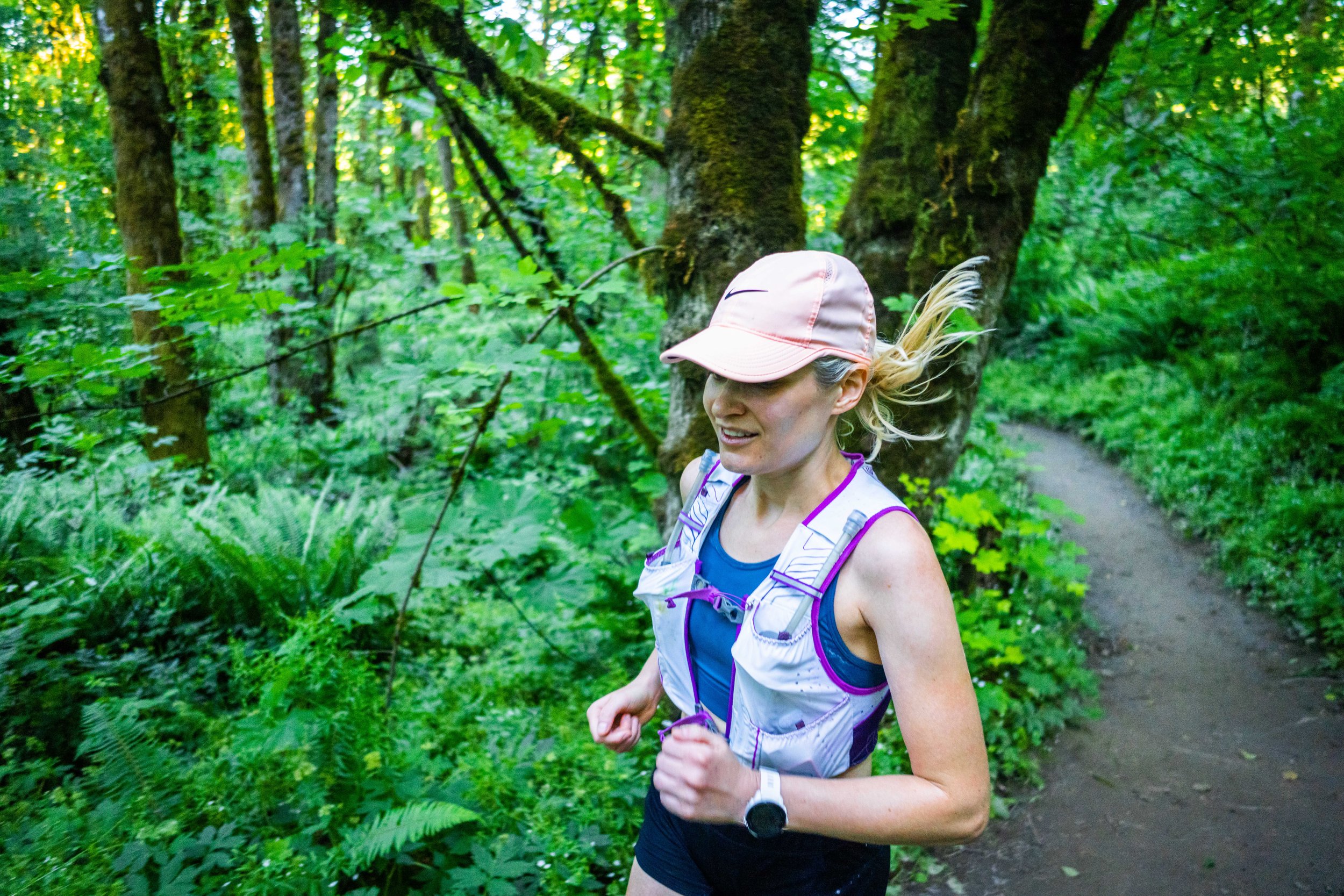
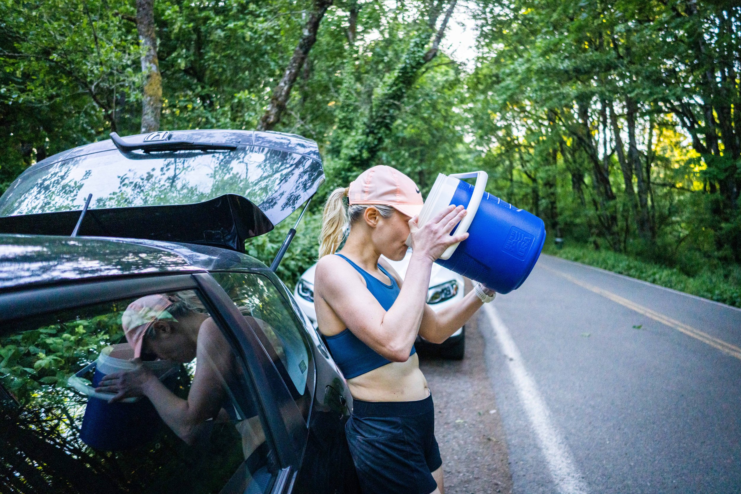
I am going to keep this part short(ish) and sweet. I had put so much planning and preparation into both the physical rigors of running all the Nasties, in addition to the strategic side of memorizing the routes and planning out the order and execution, that I really could just enjoy a long day out in nature. I loved starting right at sunrise with all the birds singing, and I was treated to a clear day with beautiful mountain views. I had fun taking videos and photos throughout the day and posting updates to social media. It seemed like a lot of people enjoyed coming along for the journey. I ran at a pace that felt comfortable, smooth, and steady. As the day went on, the uphills in particular became more difficult, no doubt a result of front-loading the difficult climbs at the beginning of the day. I averaged around 5mph for most sections; closer to 4.75 miles per hour including breaks and driving time. I slowed down significantly in the second half of Alphabet (the final Nasty) as I had run out of water and was mostly running on fumes at that point. My friend Steven Mortinson was kind of enough to come out mid-day and take some photos when I ran by the Newton Trailhead, right around Mile 31. He also met me at the very end to take photos at the finish. My favorite photo he took was the one below, as I'm downing water straight from one of my coolers. I was so dehydrated and thirsty that I was more excited about drinking tons of water than I was about being finished!
In the end I finished at 6:58PM with a total time of 13 hours, 58 minutes, and 5 seconds, taking almost two hours off of the overall fastest known time.